


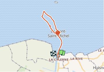


14.6 km | 15.3 km-effort

User


FREE GPS app for hiking
 SityTrail
IGN / Geographical institutes
SityTrail World
The world is yours!
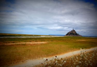
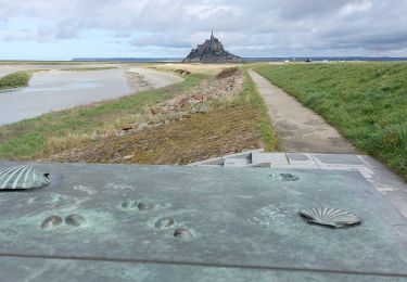
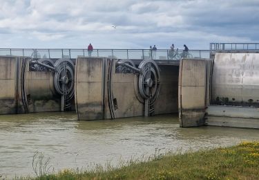
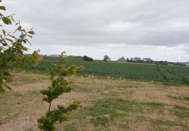
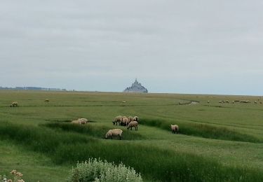
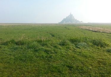
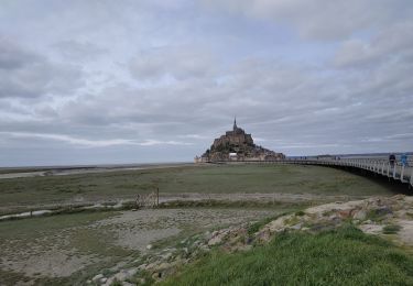
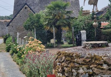
Trail Walking of 17.4 km to be discovered at Normandy, Manche, Le Mont-Saint-Michel. This trail is proposed by chessyca.
balade baie et visite abbaye


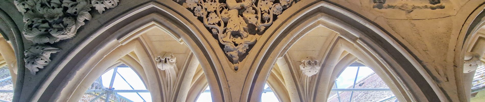
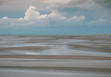
22 photos in total. Please click on a photo to see them all in the gallery.
On foot
Mountain bike
Walking
Walking
Walking
Walking
Walking
Walking